Full Description & Details
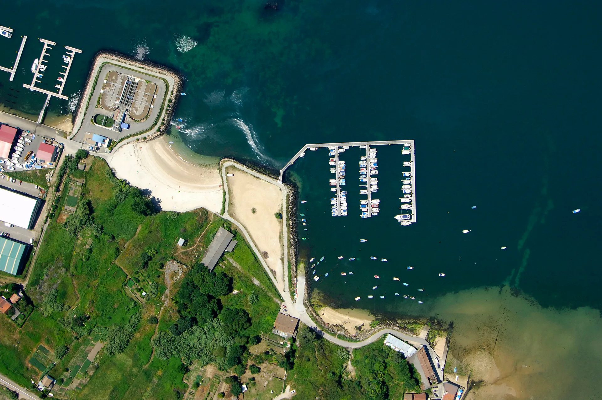
Kalem Koyu is an anchorage in the Sea of Marmara, Turkey, lying close to the village strip of Bademli. The bay is formed by Kalem Ada and Garip Ada, which run north-south parallel to the shore, and it offers all-round shelter while being open to the south.
The setting is rural, with olive trees, low stone walls, and a small viewpoint over the sea. Waterfront places serve grilled fish and meze, and the area is known for its thermal springs.
How to get there
Approach Kalem Koyu from the south, as the north entry is obstructed by reefs and shoal water, including the above-water rock Guvercin Kayasi. The south entry is narrow, with a reef extending about 70 meters from the southern point of Kalem Ada; keep close to the mainland when transiting. The strait between Kalem Ada and Garip Ada has depths of 1.5 meters in its northern part, so approach from the south only.
Anchor in 4-6 meters on sand or mud, with good holding. There is no VHF contact mentioned; use visual landmarks and the Adatepe lighthouse (Fl W.R 3s 18m 7-4M) for night approach.
Frequently Asked Questions
What is the depth and holding like at Kalem Koyu?
Depths range from 2 to 10 meters depending on the spot. The seabed is sand, mud, or weed, and holding is generally good, especially in the southern anchorage in 4-6 meters on sand.
Is Kalem Koyu sheltered from all winds?
Kalem Koyu offers all-round shelter but is open to the south. When northerly winds exceed force 4/5, a strong east land breeze can set in at night, with gusts of 20-25 knots, so set your anchor well.
Can I stay overnight at Kalem Koyu?
Yes, overnight anchoring is allowed. Be prepared for the night land breeze and ensure your anchor is well set.
Are there facilities or supplies near Kalem Koyu?
Bademli village is 2 km away and offers some supplies. There are waterfront places serving grilled fish and meze, and a small pier at the village for tender landing, but the passage requires local knowledge.
What are the main hazards when entering Kalem Koyu?
The north entry has reefs and shoal water, including Guvercin Kayasi. The south entry is narrow with a reef extending 70 meters; avoid the south passage unless necessary, and keep close to the mainland when transiting.
More sailing guides
Bareboat Sailing in Spain: Requirements and Licences
Everything you need to bareboat charter in Spain: accepted licences, flag-state rules, VHF requirements, and what to do if yours isn't accepted.
Yacht Charter Cost in Spain: What to Expect and How to Save
Real yacht charter costs in Spain by boat type, season, and region, plus what's included, hidden fees, and practical ways to cut the price.
How to Charter a Yacht in Spain: A Step-by-Step Guide
A step-by-step guide to chartering a yacht in Spain: choosing a charter type, budgeting, licences, booking, and what to expect once you're aboard.
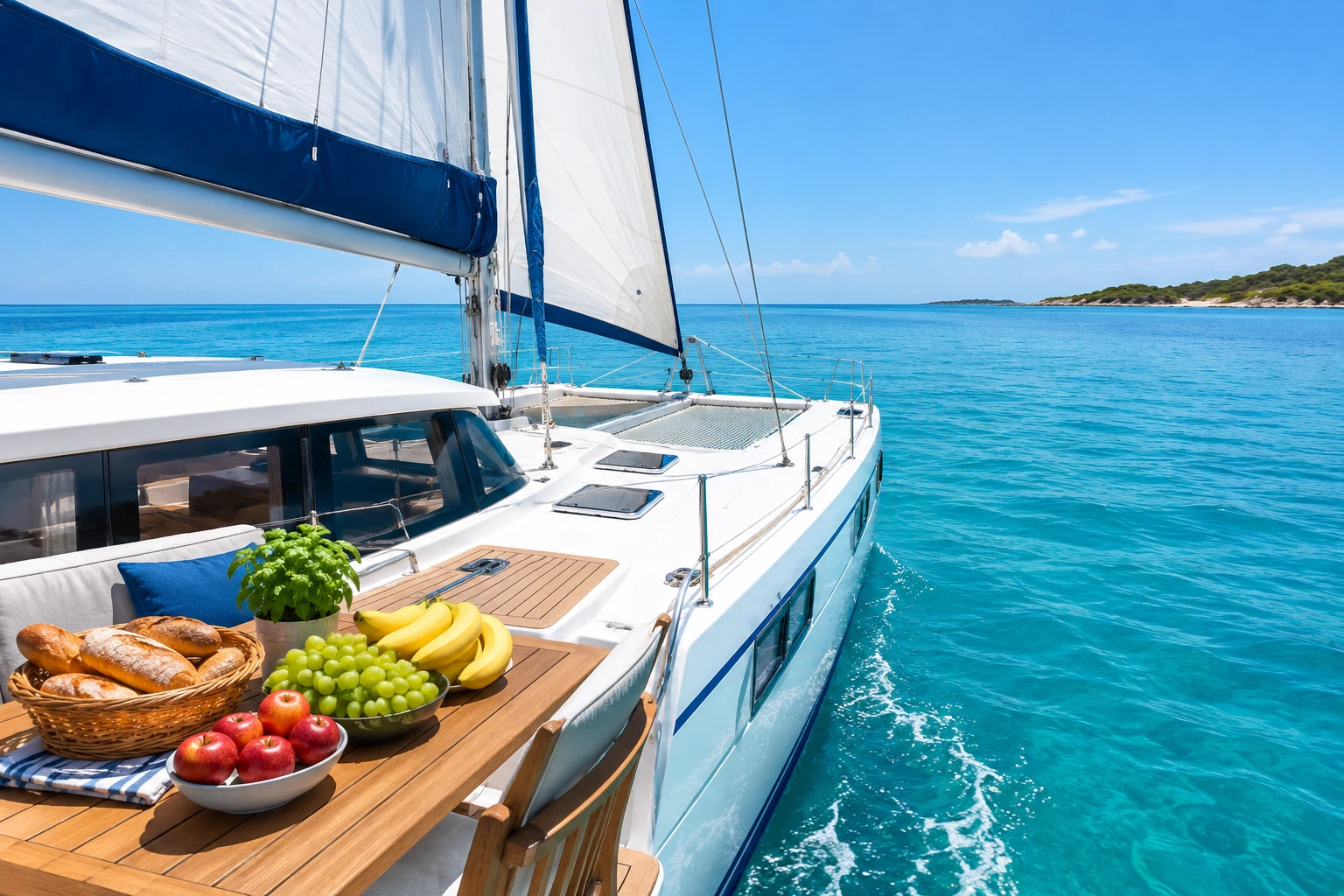
Yacht Charter Provisioning Guide: Expert Tips & Checklists
Plan your sailing holiday like a pro with our yacht charter provisioning guide—food lists, meal planning, local market tips, and essential advice for every itinerary.

Best Yacht Type for Group Charters: How to Choose
Discover the best yacht types for group charters, from family reunions to corporate events. Compare sailing yacht options, capacity, cost, amenities, and legal limits.
What Information Is Needed to Book a Sailing Yacht Charter?
Discover the key information, documents, and requirements needed to book a sailing yacht charter. Learn what details charter companies need for a smooth reservation.
Yacht Charter Deposit Insurance: What It Covers & Why You Need It
Understand yacht charter deposit insurance: what it covers, costs, differences from security deposits, and how it protects your sailing holiday or commercial charter.
Related places
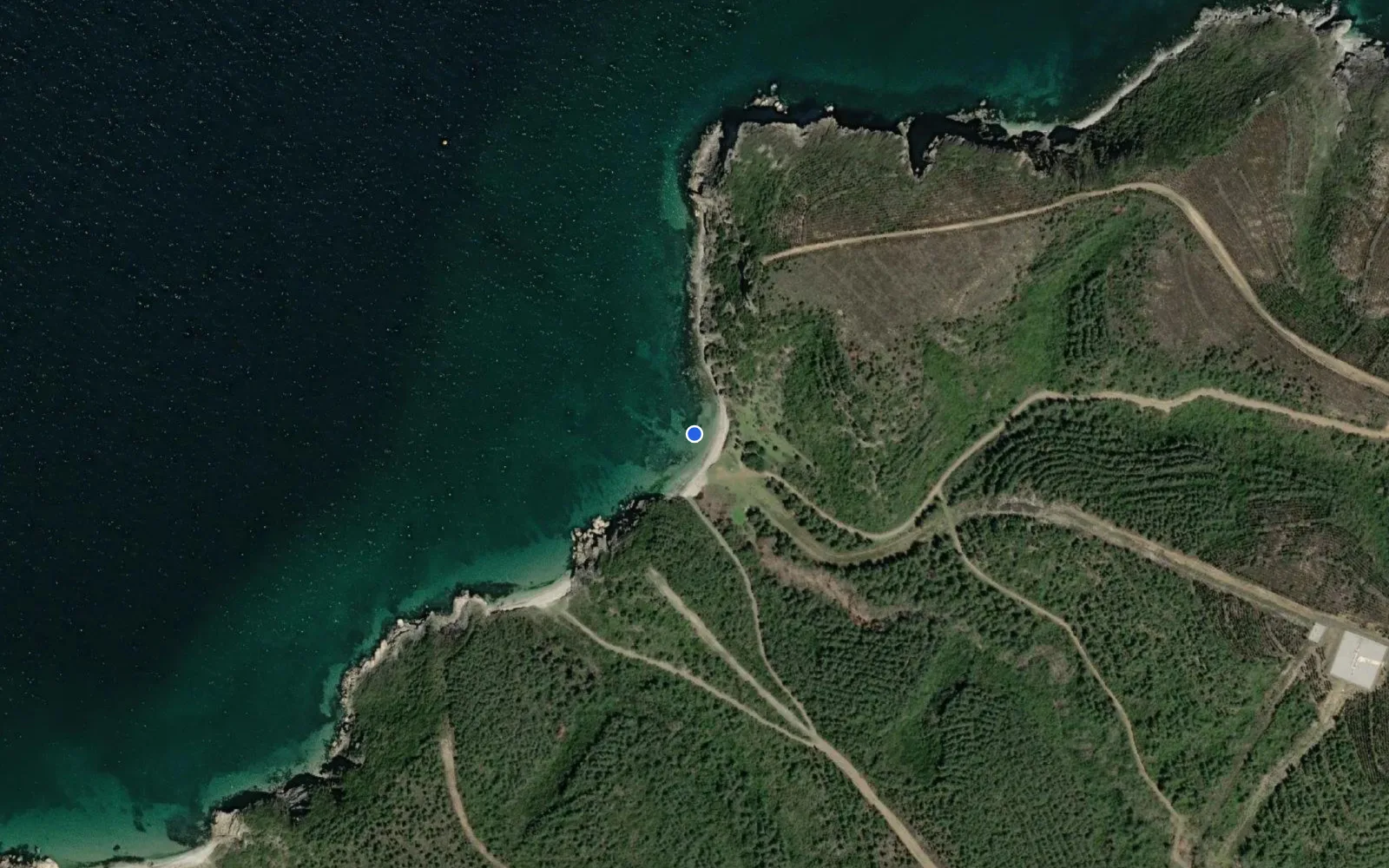
Akaçlar Koyu
Baba Koyu
Badalan Körfezi
Armutlu Devlet Limanı
Ataköy Marina
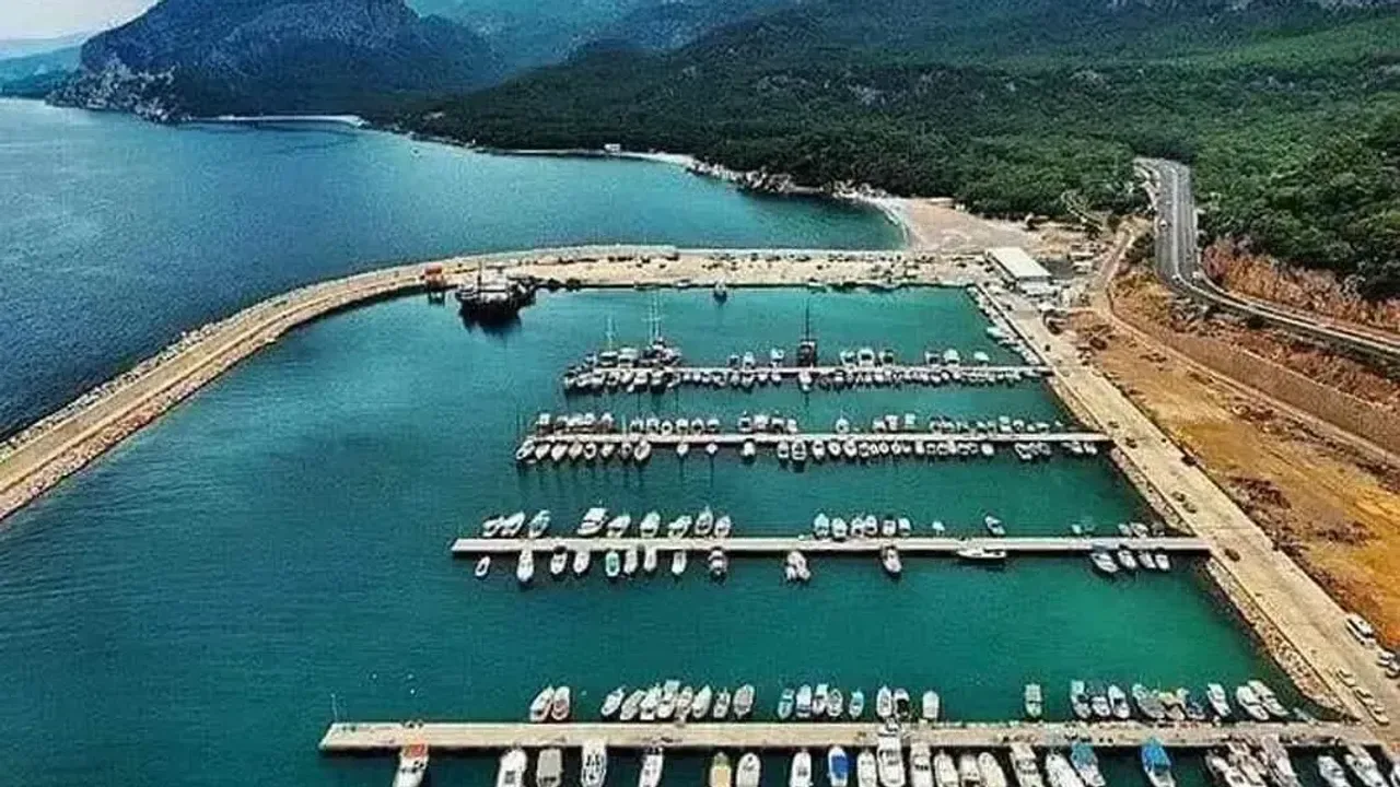
Bandırma Balıkçı Barınağı
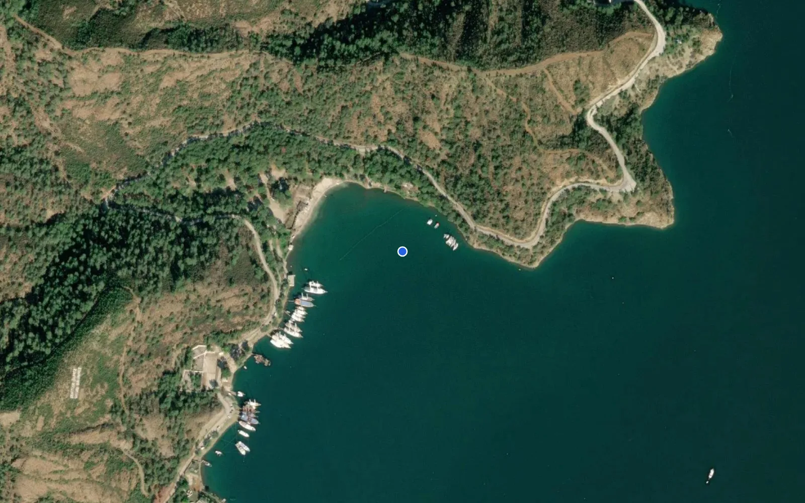
Aksazlar Koyu
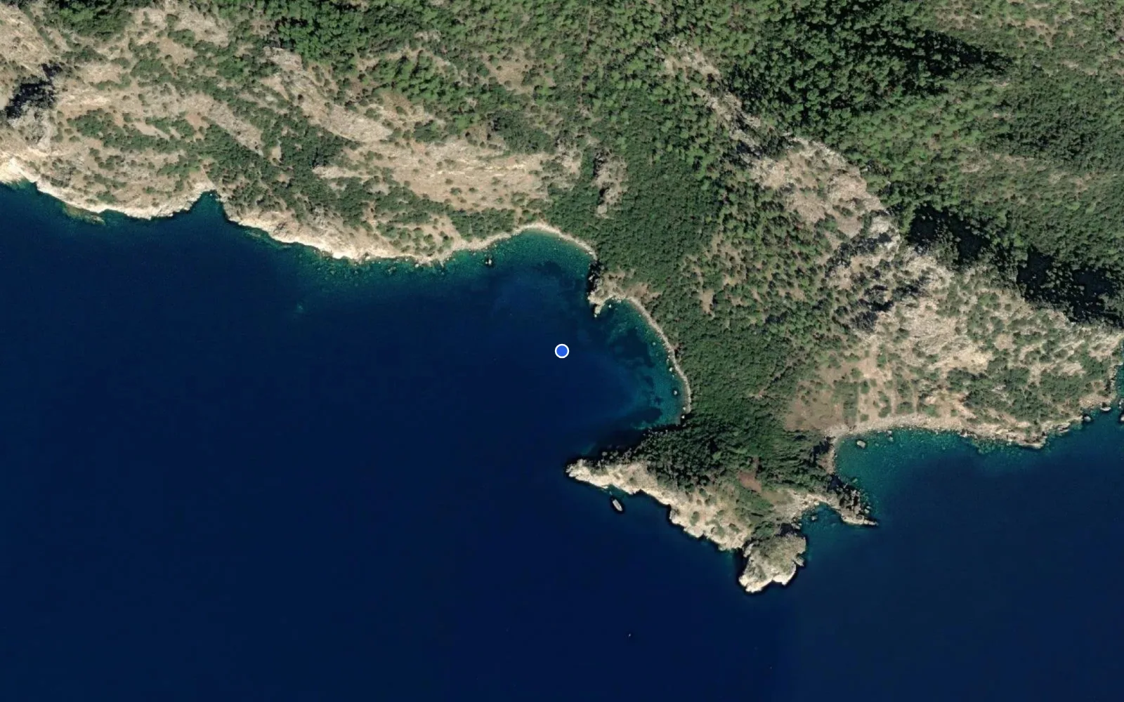
Akvaryum bay
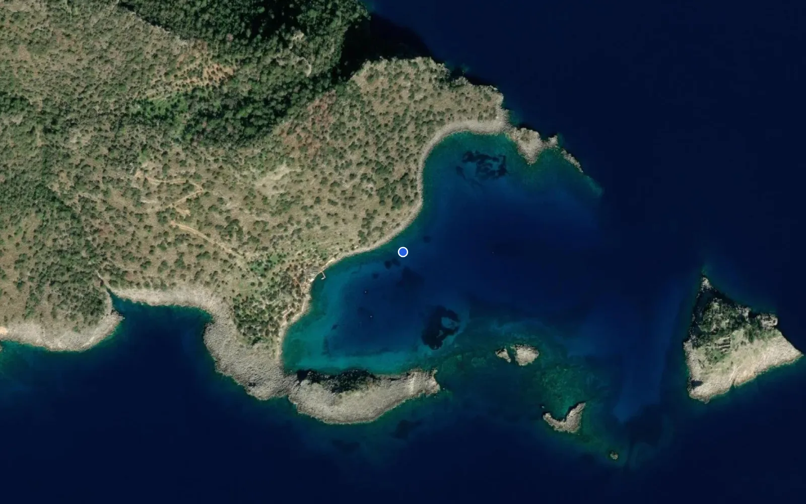
Akvaryum koyu
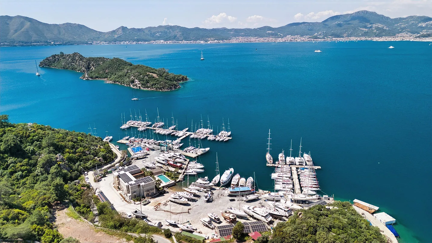
Adaköy Marina
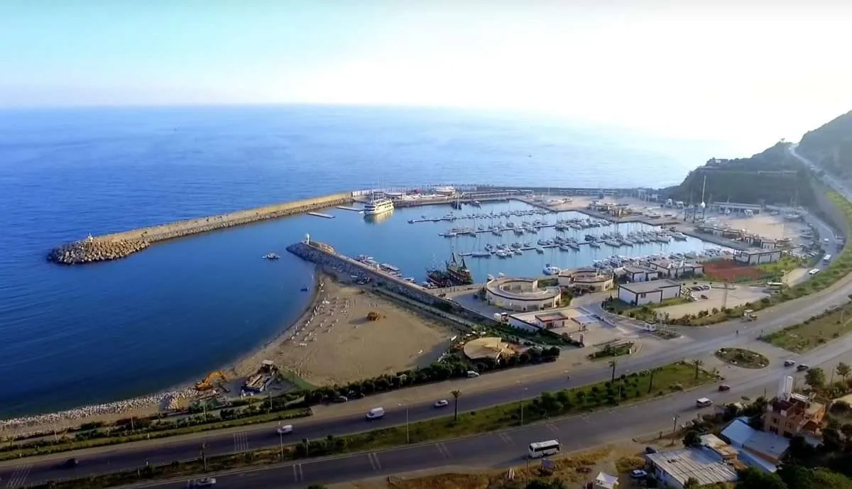
Alanya Marina