Full Description & Details
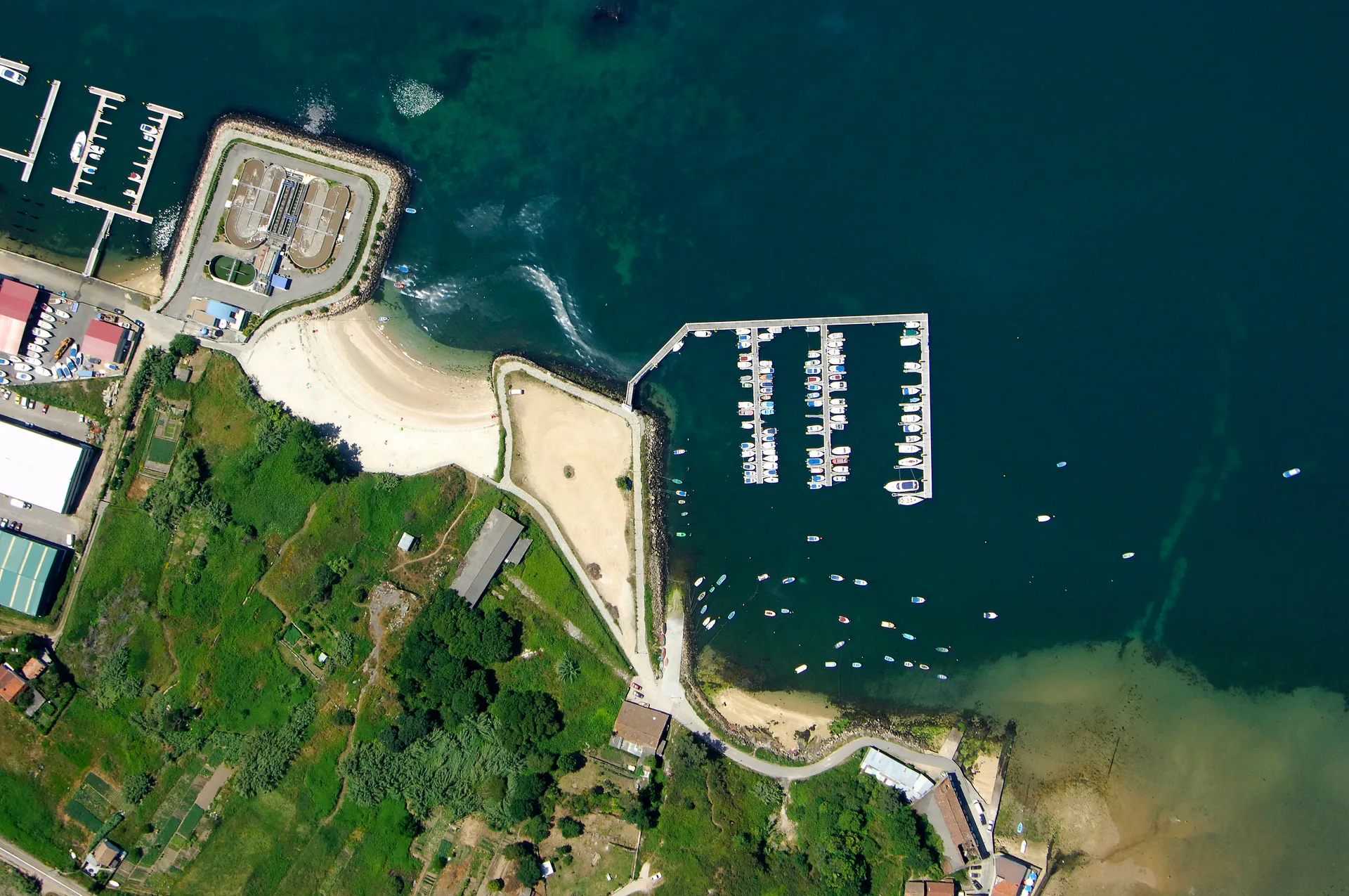
Akaclar Koyu is a small anchorage on the southern Marmara Sea coast, near the village of Degirmencik in the Biga district of Turkey. The bay is marked by low hills and quiet shore paths, giving it a calm, remote feel. There is little around it beyond water and land, making it a handy pause for a skipper crossing the Marmara rather than a destination in itself.
The bay offers an anchorage with a calm feel, sheltered by the low hills that surround it. There are no reported berths, pontoons, or moorings; vessels anchor in the bay. Holding ground details are not documented in available sources, so skippers should assess the bottom on arrival. Depth information is not published, and the overnight policy is unknown.
Facilities at Akaclar Koyu are minimal. There are no reported fuel docks, water, electricity, or shore services. The anchorage is essentially undeveloped, with nothing in the way of marina amenities. Skippers should plan to be self-sufficient, carrying their own water, fuel, and supplies before arriving.
Safety notes are limited by the lack of detailed source information. The calm feel suggests reasonable shelter in settled conditions, but the bay is open to the Marmara and offers no dedicated protection from strong winds. The best season for a stopover is not documented. There are no reported restrictions on anchoring, but given the sparse information, a cautious approach is advised.
How to get there
Approach Akaclar Koyu from the Marmara Sea, heading toward the southern coast near the village of Degirmencik in Biga district. The bay lies at approximately 40.4392 N, 27.0895 E. No specific bearing, waypoint, or channel is documented in available sources, and there is no reported VHF channel for the anchorage. Skippers should navigate visually, using the low hills as a landmark and checking depths carefully on the way in.
Land access is limited; the nearest settlement is Degirmencik, but no details on roads, a nearby airport, or formalities are available. There are no reported shore facilities or services at the anchorage. Plan to arrive self-sufficient and depart without expecting any support on land.
Frequently Asked Questions
What is the holding like at Akaclar Koyu?
Holding ground details at Akaclar Koyu are not documented in available sources, so skippers should assess the bottom on arrival.
Are there any facilities or services at Akaclar Koyu?
Akaclar Koyu has no reported fuel, water, electricity, or shore services; it is an undeveloped anchorage, so plan to be self-sufficient.
Is Akaclar Koyu sheltered from the wind?
Akaclar Koyu has a calm feel with low hills sheltering the bay, but it offers no dedicated protection from strong winds and is open to the Marmara.
What is the depth at Akaclar Koyu?
Depth information for Akaclar Koyu is not published in available sources, so check depths carefully on approach.
Can I stay overnight at Akaclar Koyu?
The overnight policy at Akaclar Koyu is unknown, as no source documents whether overnight anchoring is permitted.
Explore Turkey

How Much Does It Cost to Charter a Yacht in Turkey?
Real yacht charter costs in Turkey by boat type, season and region — bareboat, skippered, crewed and gulet prices, plus what's included and what costs extra.
Eco-Friendly Sailing in Turkey: Sustainable Tips
Sail Turkey's coast responsibly: Zero Waste Blue rules, protected marine areas, seagrass-safe anchoring, and practical tips to cut plastic and fuel use.
Bareboat Sailing in Turkey: Requirements and Tips
Everything you need to bareboat charter in Turkey: accepted licences, the Transit Log, VHF rules, no-go zones, and practical tips for a smooth check-in.
Top 10 Sailing Destinations in Turkey: Ultimate Yacht Charter Guide
Discover the top 10 sailing destinations in Turkey, with expert tips on routes, marinas, and when to go. Plan your perfect sailing holiday along the Turkish Riviera.

Sailing Season in Turkey: Best Times and Weather by Month
Discover the best time to sail Turkey, with month-by-month sailing conditions, weather, crowds, and costs for yacht charters along the Turkish Riviera.
More sailing guides
Yacht Charter Provisioning Guide: Expert Tips & Checklists
Plan your sailing holiday like a pro with our yacht charter provisioning guide—food lists, meal planning, local market tips, and essential advice for every itinerary.

Best Yacht Type for Group Charters: How to Choose
Discover the best yacht types for group charters, from family reunions to corporate events. Compare sailing yacht options, capacity, cost, amenities, and legal limits.
What Information Is Needed to Book a Sailing Yacht Charter?
Discover the key information, documents, and requirements needed to book a sailing yacht charter. Learn what details charter companies need for a smooth reservation.

Yacht Charter Deposit Insurance: What It Covers & Why You Need It
Understand yacht charter deposit insurance: what it covers, costs, differences from security deposits, and how it protects your sailing holiday or commercial charter.
Related places
Baba Koyu
Badalan Körfezi
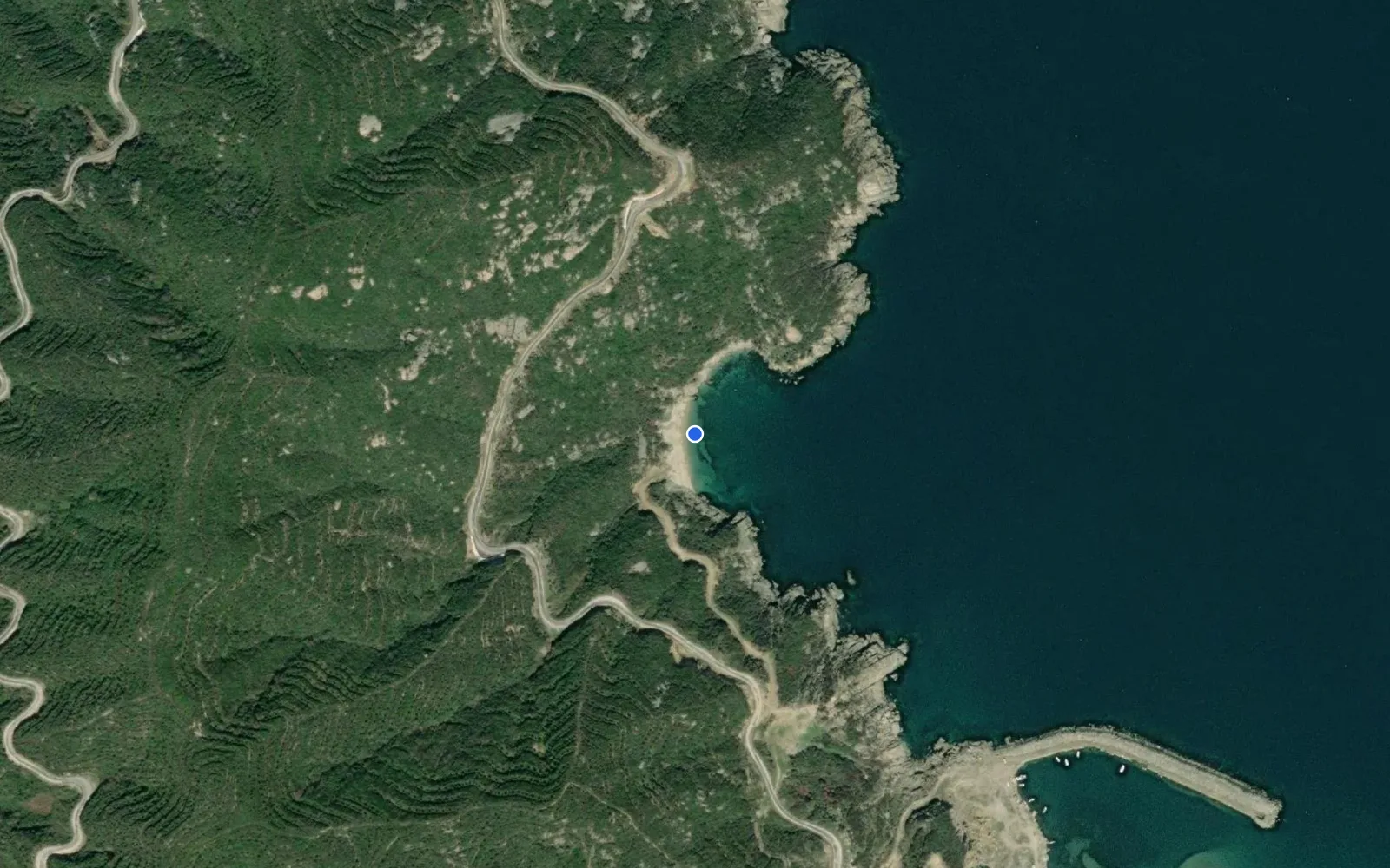
Batı Koyu
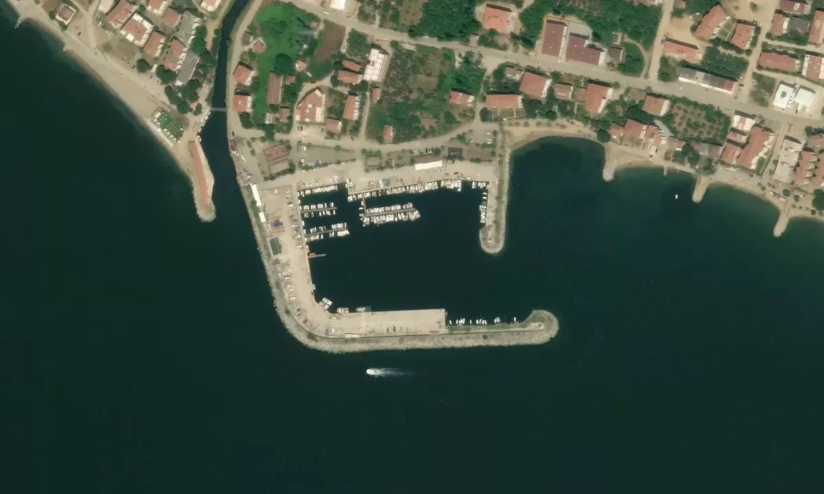
Armutlu Devlet Limanı
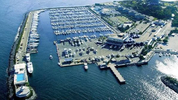
Ataköy Marina
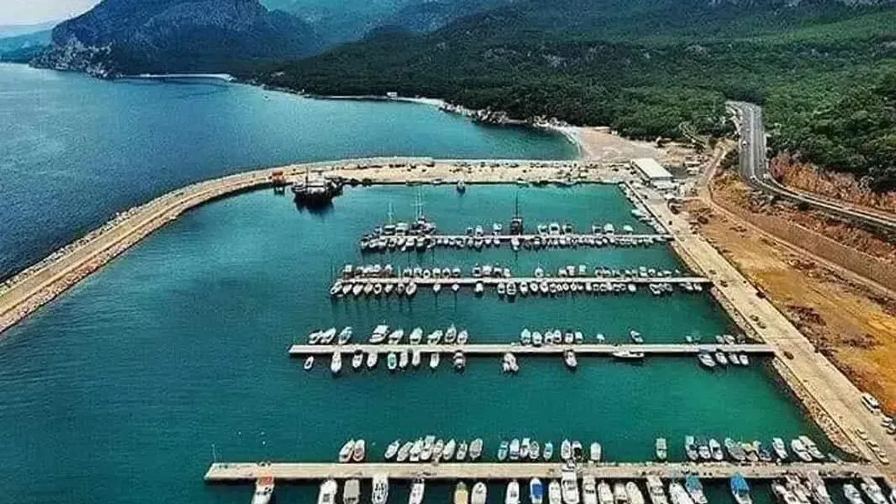
Bandırma Balıkçı Barınağı
Aksazlar Koyu
Akvaryum bay
Akvaryum koyu
Adaköy Marina
Alanya Marina