Full Description & Details
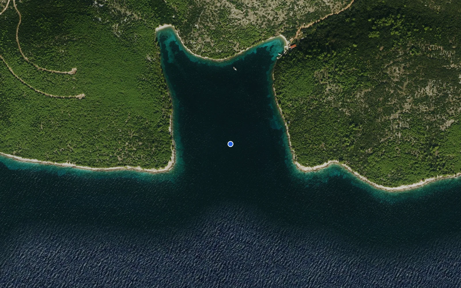
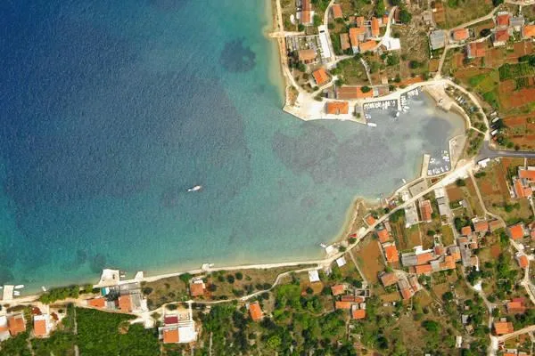
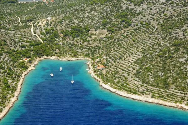
Luka Krapanj is the harbour of the tiny island of Krapanj, famous for its sponge‑diving past and home to a Franciscan monastery and sponge museum. The marina is a compact, year‑round facility operated by the Sibenik‑Knin County Port Authority. It consists of a concrete‑and‑stone quay, a breakwater, and a pier used by local fishing and excursion boats. The official capacity is 30 berths, though some third‑party sources list 12. Vessels up to 15 m LOA can be accommodated, with three dedicated spaces for boats of that size.
The harbour is well protected from southerly, south‑westerly and westerly winds, and offers partial shelter from the south (jugo). It is, however, fully exposed to northerly winds – the bora, maestral and tramontana – which can make the berths uncomfortable in strong conditions. Depths at the quay range from 2 to 4 m, with an official depth of 3 m. The bottom is not described, but the quay is solid concrete and stone. A slipway (istezaliste) is available for hauling out smaller boats.
Berths are equipped with water and electricity. There is no fuel dock; the nearest fuel is in Sibenik (6 NM) or Vodice (9 NM). The island has a post office and a medical clinic, but the marina itself lacks a crane, travel lift, chandlery or repair facilities. Contact for berths is through Hotel Spongiola (phone +385 22 348 900, email [email protected], website www.spongiola.com). A restaurant and the sponge museum are within walking distance.
Mariners must navigate with caution. A 1.7 m shoal lies 300 m SE of Rt Grmine, and the Krapanj shoal extends 0.8 NM NW of the island, marked by a red tower light (Fl R 3s 6m 2M) and a red lateral pole. The rock Kraplun barely breaks the surface in the middle of the shoal. Submarine cables cross the passage between the island and the mainland. The shallow channel from Solaris to Kakanj demands careful piloting with up‑to‑date charts. The harbour is open all year, but strong northerlies may limit access.
How to get there
Approaching from the north, keep clear of the 1.7 m shoal 300 m SE of Rt Grmine and the Krapanj shoal 0.8 NM NW of the island. The shoal is marked by a red light (Fl R 3s) on a red tower with a gallery, and a red lateral pole about 150 m west of the light. The light has a darkened sector covering the shoal and the rock Kraplun.
The harbour entrance lies between the breakwater and the shore; depths in the approach are around 3 m. No VHF working channel is published. Official charts are 100‑21, MK‑15 and Plan 533. The harbour is exposed to northerly winds, so entry may be difficult in a strong bora.
The island is connected to the mainland by a frequent passenger ferry from Brodarica (5 minutes, €1.50). Brodarica is on the coastal road about 6 km from Sibenik. The nearest major airport is Split (SPU), roughly 60 km away.
No check‑in formalities are mentioned; Croatia is part of the Schengen area.
Frequently Asked Questions
How many berths does Luka Krapanj have?
Luka Krapanj has an official capacity of 30 berths, though some third-party sources list 12. Vessels up to 15 m LOA can be accommodated, with three dedicated spaces for boats of that size.
What is the depth at Luka Krapanj?
Depths at the quay range from 2 to 4 m, with an official depth of 3 m. Depths in the approach are around 3 m.
Can I stay overnight at Luka Krapanj?
Yes, Luka Krapanj is a year-round facility with berths equipped with water and electricity for overnight stays.
Is there fuel available at Luka Krapanj?
No, there is no fuel dock at Luka Krapanj. The nearest fuel is in Sibenik (6 NM) or Vodice (9 NM).
What VHF channel does Luka Krapanj use?
No VHF working channel is published for Luka Krapanj.
What protection from wind does Luka Krapanj offer?
Luka Krapanj is well protected from southerly, south-westerly and westerly winds, with partial shelter from the south. However, it is fully exposed to northerly winds (bora, maestral and tramontana), which can make berths uncomfortable in strong conditions.
What hazards should I watch for when approaching Luka Krapanj?
When approaching Luka Krapanj, watch for a 1.7 m shoal 300 m SE of Rt Grmine and the Krapanj shoal 0.8 NM NW of the island, marked by a red light (Fl R 3s) and red lateral pole. The rock Kraplun barely breaks the surface in the middle of the shoal, and submarine cables cross the passage between the island and mainland.
More sailing guides
Bareboat Sailing in Spain: Requirements and Licences
Everything you need to bareboat charter in Spain: accepted licences, flag-state rules, VHF requirements, and what to do if yours isn't accepted.
Yacht Charter Cost in Spain: What to Expect and How to Save
Real yacht charter costs in Spain by boat type, season, and region, plus what's included, hidden fees, and practical ways to cut the price.
How to Charter a Yacht in Spain: A Step-by-Step Guide
A step-by-step guide to chartering a yacht in Spain: choosing a charter type, budgeting, licences, booking, and what to expect once you're aboard.
Yacht Charter Provisioning Guide: Expert Tips & Checklists
Plan your sailing holiday like a pro with our yacht charter provisioning guide—food lists, meal planning, local market tips, and essential advice for every itinerary.

Best Yacht Type for Group Charters: How to Choose
Discover the best yacht types for group charters, from family reunions to corporate events. Compare sailing yacht options, capacity, cost, amenities, and legal limits.
What Information Is Needed to Book a Sailing Yacht Charter?
Discover the key information, documents, and requirements needed to book a sailing yacht charter. Learn what details charter companies need for a smooth reservation.
Yacht Charter Deposit Insurance: What It Covers & Why You Need It
Understand yacht charter deposit insurance: what it covers, costs, differences from security deposits, and how it protects your sailing holiday or commercial charter.
Related places
Luka
ACI Marina Jezera
ACI Marina Milna
ACI Marina Palmižana
Birthday Bay (Stupica Vela)
Bobovišća
Drvenik Veliki
Dugi Rat Marina
Konoba Matteo
Lemes